Monday, August 21, 2006
New Best Day Ever in Eureka
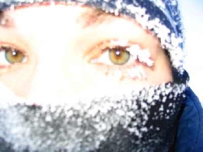
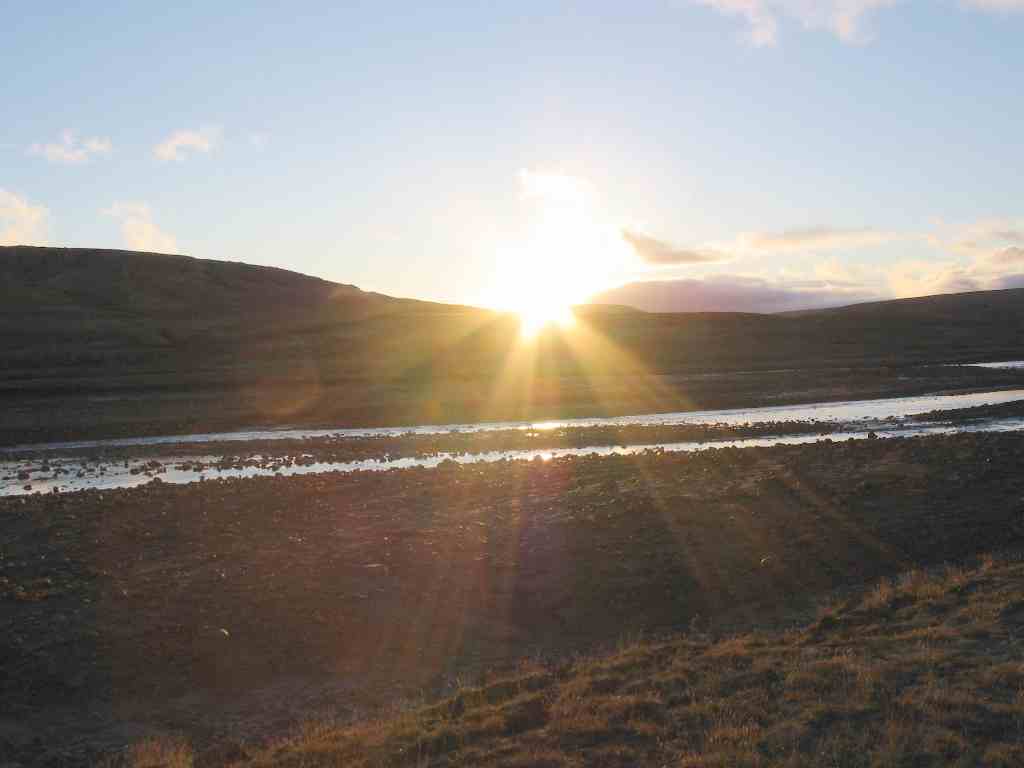 Saturday night was a bit quieter than my previous Saturday nights in Eureka, most likely because there are only ten people on site instead of twenty. I beat Keith at pool, but lost to Al the station manager. But don't worry - a fun night was had at the "bar". At about eleven, Keith and I decided to play frisbee golf. This was mostly so I could say that I was playing frisbee golf at midnight. And here is the evidence. Don't let the picture fool you, the Sun isn't really all that close to setting, it's just at the very edge of this ridge. This is about how high in the sky the Sun gets when I'm here in March, and it always seems really high and bright to me then. Now, it seems really low and like twilight. Perception is a crazy thing. (I lost at frisbee golf, but I scored ten lower than my last time out.)
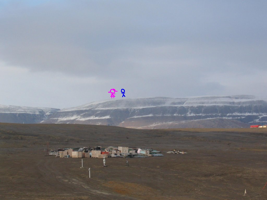 Sunday I decided to take the day off so that I could do something I've wanted to do forever: climb Blacktop mountain. Blacktop is the highest peak visible from the station, about 800 m. It's called Blacktop because in the winter, when everything else is white, the top of it often looks black because the snow has been blown away. This is a picture taken just a few minutes ago out my window, and I've taken the liberty of putting in a realistic view of what it looked like when Keith and I got to the top. There wasn't snow like this yesterday, that has happened today.
(Incidentally, AStrO is covered in snow and finally looks familiar to me now.) It took us eleven hours to hike from where we drove the truck to the top and back, and today I am all over sore.
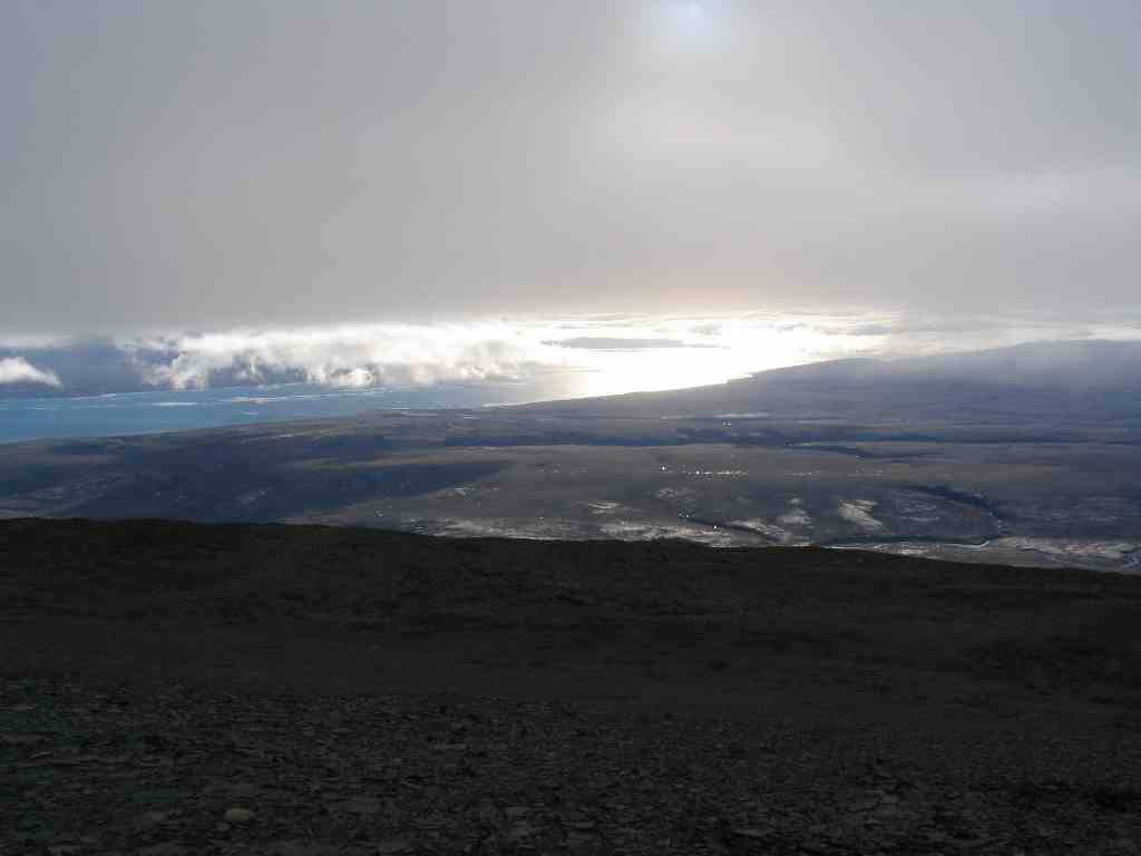 But it was super fun. Lots of different types of rock and terrain, from sand to swamps. We ran into a few guard bunnies along the way, but we seemed to pass their tests. Of course, by the time we actually got to the top it was cloudy and we couldn't see very far, but the views on the way up and on the way back were magnificent. On top we found a cairn to "commemorate the contribution to Canada's 1:50 000 scale mapping control by the mapping and charting establishment". If someone can explain that to me, and explain to me why the best place for this commemoration is the top of a mountain that very few people ever bother to climb, I will bring you back a rose rock that I personally plucked from the mud.
// posted by Annemarie @ 7:55 PM 
Comments:
<< Home
So the MCE is part of DND.
"The role of the MCE is to provide geospatial information and geomatics support to the Canadian Forces. MCE distinguishes itself from civilian mapping agencies through its expertise and focus o-n (sic) military applications of geomatics, provision of worldwide data coverage, and the ability to fuse geospatial information with other types of data and intelligence. MCE supports all branches of the Canadian Forces, in training and i-n operations, from its bases in Ottawa, Halifax, and Esquimalt, and through deployed Geomatics Support Teams."
http://www.geoplace.com/pressrelease/pressdetail_print.asp?id=5492
I guess that Blacktop is a survey point taken for the mapping of Canada, and the information was so generously shared by the MCE. But because they're military, all awards have to be "secret". And in the middle of nowhere is pretty close to secret.
I expect the rose rock to be in pristine condition, and to fetch a good price on the black market.
# posted by  : 3:35 PM
: 3:35 PM
And there's even a summer-time military base here. Craig, you have solved the mystery. And have entirely too much time on your hands. Your rose rock will be delivered at X-mas, unless I forget.
Post a Comment

<< Home